QUEBEC - 2021-12-08 | Formerly known as La Géomathèque, Geoselec is launching its full range of specialized services and technological solutions. Geoselec stands as the number one player in Canada regarding the scanning of historical aerial photography archives and the online distribution of digital imagery. (version en français de ce communiqué)

Geographical and Historical Heritage
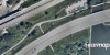
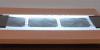
Government mapping agencies and other major territory managers have been collecting aerial films since the 1930s. Historical data is relevant to this day to account for the development and evolution of the land. Most of this data, though, has yet to be digitized.
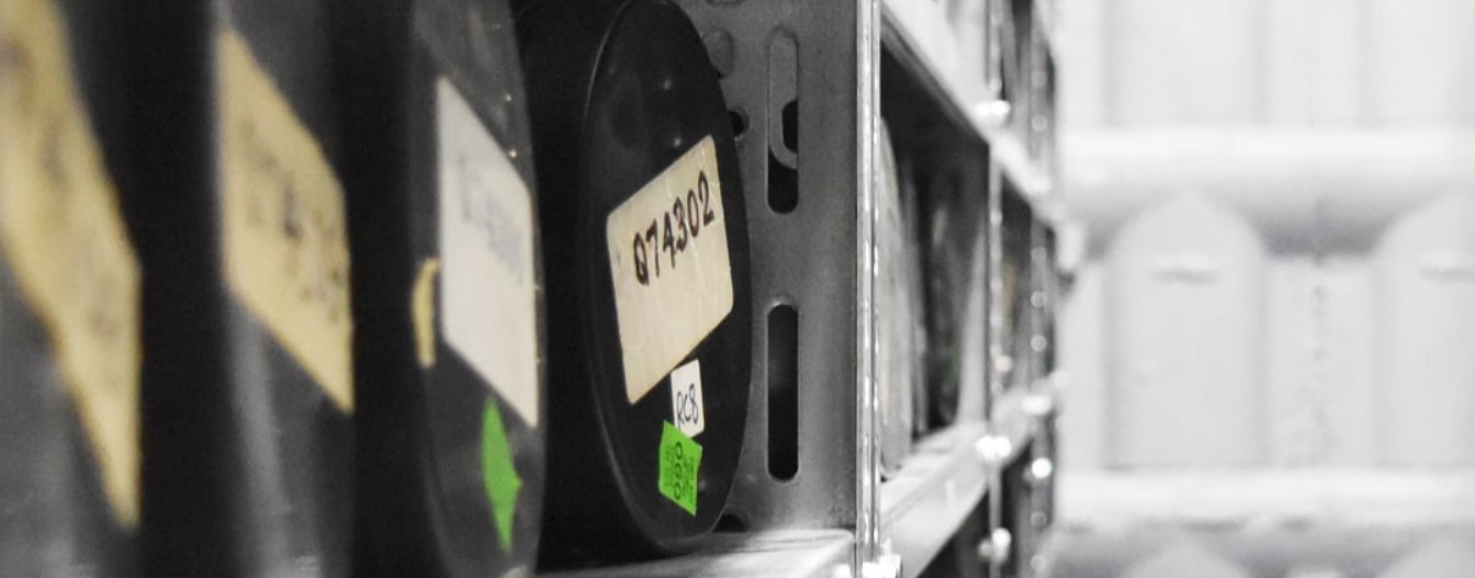
In Canada alone, millions of historical images are only available on film. The preservation of this data through digitization becomes a race against time, before film degradation results in data loss. Digitization is the solution that Geoselec offers to protect, optimize, and make these images accessible.
Scanning Is the Solution
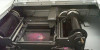
This is where Geoselec comes into play, being involved in photogrammetric scanning of aerial photos for decades. With the largest set of specialized scanners in Canada, Geoselec creates data by transforming images that once existed only on physical media into a digital copy. Digitization allows for secure archiving, value creation and web accessibility of this data.
Image Distribution and Accessibility
Once digitization is completed, the owners of these images might choose to manage these millions of files and terabytes by themselves or to entrust the task to Geoselec. The next logical step to enhance the value of this digital imagery portfolio is to make it easier to find and distribute online.
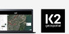
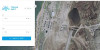
Geoselec has been distributing aerial imagery online for almost 20 years, which is at the heart of its mission. The latest version of its online platform, launched in 2020, stands out for its user-friendly interface and its wide-ranging options. Each week, hundreds of territory, environmental and engineering professionals acquire aerial photos as well as value-added services (e.g. georeference, orthomosaic) through Geoselec’s online marketplace.
Geoselec wishes to maximize the potential of its technological platform and online store. Thus, the invitation is sent to any owner of aerial images and geospatial data to entrust Geoselec with their distribution. Several distribution methods are offered including the options of price (free or paying) and access (public, private, extranet).
About Geoselec
Formerly known as La Géomathèque in Quebec, Geoselec sets itself apart by its offer built around its primary mission: accessibility to imaging data.
Offered across Canada, our services and solutions cover:
- Precision & high-volume scanning of aerial photographs using our unique expertise and the largest selection of specialized equipment in Canada;
- The management of analog film archives, including secure transport, storage in our vaults, repair, creation and management of indexes and metadata as well as reproduction and value-added services (georeference, orthomosaic, etc.);
- A one-stop technological platform combining digitization, e-commerce, search engine, order management and cloud-based image hosting;
- A popular online marketplace comprising of more than two million aerial photographs of Quebec and Canada, allowing for fast research and ordering, and open to the integration of varied data from multiple owners.
Visit www.geoselec.com !
Source: geoselec.com
Information: Geneviève Grenier | General Manager| genevieve.grenier@geoselec.com | M : 418 928-7948