A first in Canada for imagery accessibility of northern villages.

A first in Canada for imagery accessibility of northern villages.

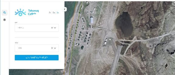
Learn more about our more recent project ‘’takuvuq’’, which means he sees in Inuktitut. Outcome of the GeoConnections federal program, this project is an example of aerial imagery (recent and historical) democratization.

We are so proud to launch this viewer after all this teamwork.


Share this post, Hit on social buttons!

More than 2M of aerial photos

for Quebec province since 1960

40 years of experience

in managing and scanning historical imagery

Customer service
Customer service

ready to help you