Partner and Content provider: Jakarto
Geoselec’s marketplace distributes Jakarto data throughout Canada.

Jakarto, which was founded in Montreal in 2017, offers innovative solutions to geospatial and AEC professionals (architecture, engineering, construction), collaborating with municipalities, public services and owners/managers of websites and transportation networks.
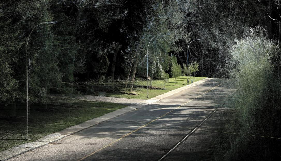
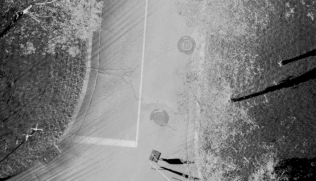
Using Artificial Intelligence (AI) algorithms, Jakarto rapidly and systematically creates precise 3D mapping data, as well as 2D conversion. Jakarto captures 3D high definition geospatial data (3D HD mapping) with its mobile units, mapping Quebec and Eastern Canada’s cities and infrastructures. It distributes 3D digital twins and 2D/2.5D data layers through its data catalog, combining LiDAR and colour imagery.
This data will be available on Geoselec’s marketplace.
For more informaton, go to www.jakarto.com.
Jakarto products available on Geoselec’s marketplace
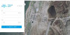
Geoselec’s Search and Geographical Selection interface will provide available digital data in your area of interest. These products are:
- 2D orthophotos, 2D raster background, according to the reflectivity captured by LiDAR;
- 5D (DTM), 2D background raster that illustrates the terrain, digital model type terrain 2D, issued from LiDAR data;
- 3D digital twins, HD LiDAR point cloud with spherical images;
- 360 scene, HD LiDAR point cloud with spherical images.
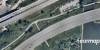
 Exemple of a 2D orthophoto
Are you interested in these products? Call us!
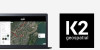
Geographical coverage of Jakarto’s data
View coverage map and list of municipalities covered at the following address:
www.jakarto.com/en/coverage-map
Prices and processing times
| Product | FIle Format | Price | Processing time |
| Orthophoto 2D raster, 100 meter ide length tile* | Geotiff | 45$** | 5 workdays |
| Orthophoto 2.5D/DTM raster, 100 meter side length tile* | Geotiff | 45$** | 5 workdays |
| 3D digital twin (LiDAR and spherical images covering a 100 meter tile) | .laz & .jpg | 90$** | 5 workdays |
| 360 scene (LiDAR and spherical images of the chosen location) | .laz & .jpg | 45$ | 5 workdays |
*coverage containing data as seen and captured from the public roadway (“Street View” type). Some tiles may not cover 100% of the zone (i.e., backyards are not visible from the street).
**per 100m x 100m tile