Aerial Photographs
Aerial photography allows 2D and 3D research as well as land data analysis at a specific point in time.

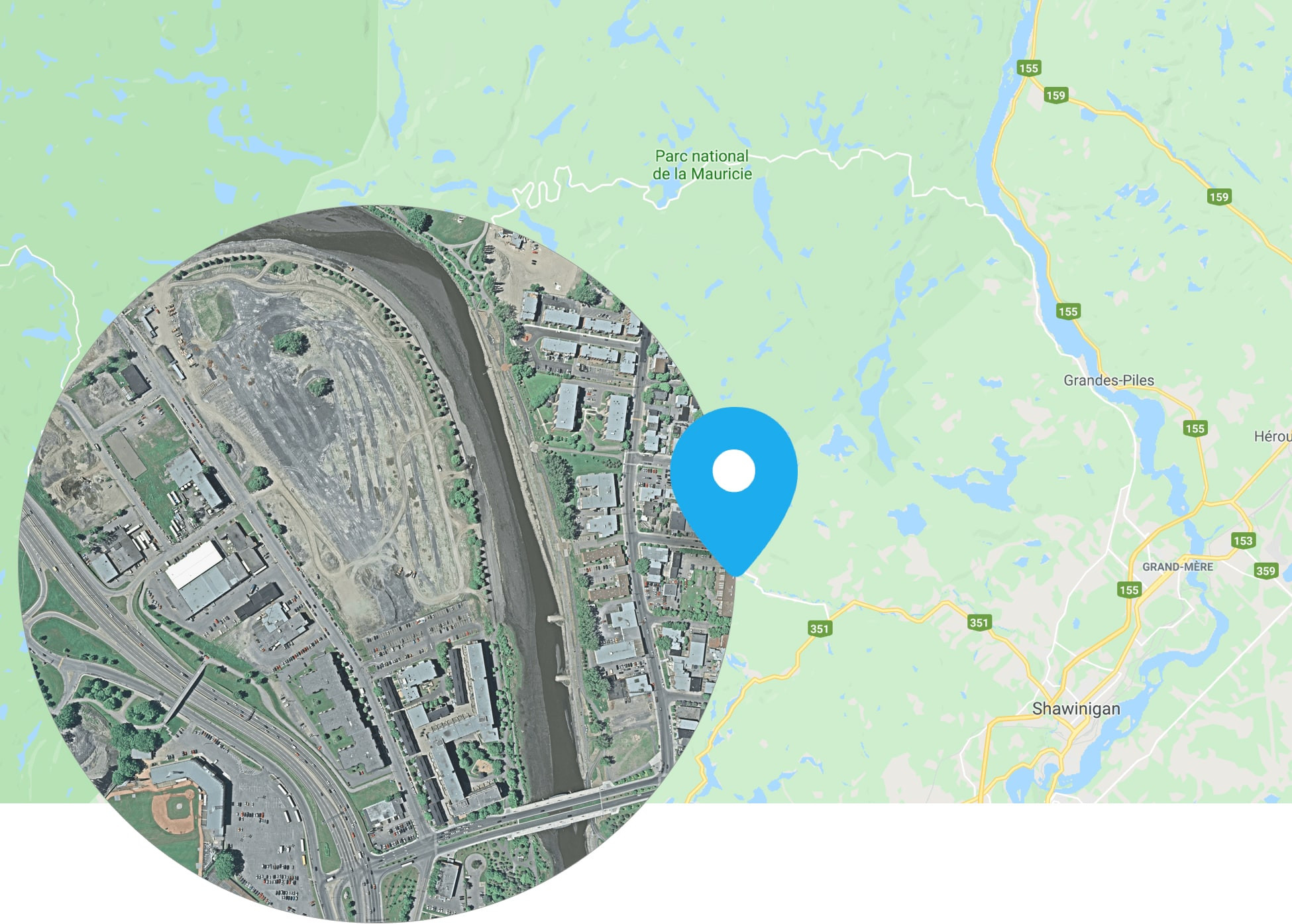
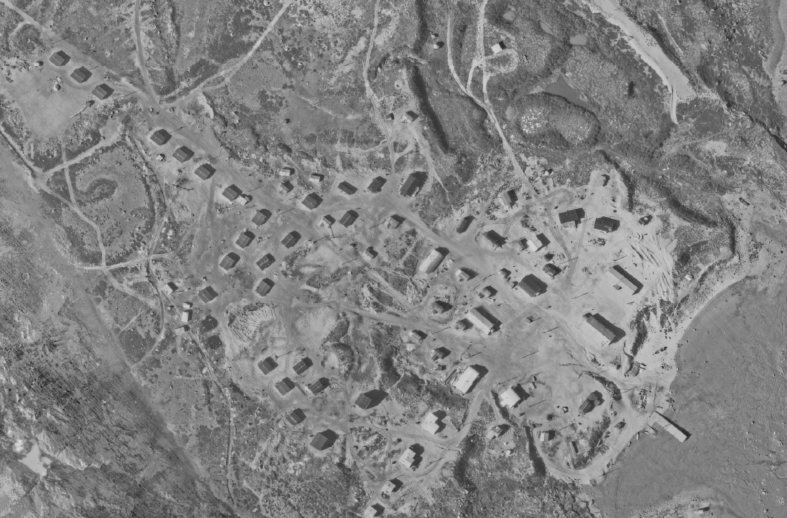
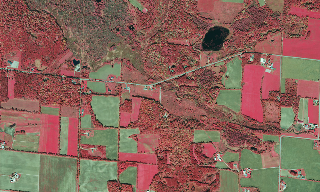
Digital aerial photo sample
Quebec City, 2007
Aerial photographies from 1959 up to today
Via Geoselec's online marketplace, you can search and order from the most extensive archive of aerial photography in Quebec. Geoselec is a partner with the Quebec government in the distribution of aerial photography.
Format
Once you have selected your aerial photo, you will be able to chosse between different format options and additional products:
- Digital
- Enlargement of a specific area
- Georeference options
- Orientation parameters options
You can also get image-specific documents such as the letter of authentication, flight index or camera calibration reports.
To learn more about available formats
Aerial Photography Uses
Aerial photos have many uses, be it for a specific year or for historical comparison:
- environmental site assessment
- farm land and river monitoring
- land and property rights and litigation
- urban land use planning
- studies of forestry potential
- research projects
- leisure activities (fishing, hunting, holiday home)
| Format | Description | Price | Processing times | Processing times with Priority service |
|---|---|---|---|---|
| Digital |
Analog photos (<2010): digital files are scans (between 1700 and 1800 dpi) from the original film, unless there is a note in the photo information page. TIFF files are compressed to facilitate delivery and opening. Digital photos (>2010): image is already digital at a high resolution. TIFF file are compressed to facilitate delivery and opening. |
34,50$ | 10 business days | 48h |
|
Analog photos (<2010): contact print 10 in x 10 in. Digital photos (>2010): size depends on the type of digital camera. |
34,50$ | 10 days | 48h | |
|
Enlargment |
A photograph enlargement allows a specific zone to be viewed at a larger scale for more details. Once the zone is confirmed with our customer service team, printing is made on paper (17 in wide x 17 in up to 36 in long according to your needs). |
90$ | 10 days | 48h |
|
Option: georeference |
The photo is positioned when you select this option. It is completed with 5 ground control points derived from the vector files of the 1: 20 000 topographic map of the Ministère des Ressources naturelles et des Forêts du Québec.. Format: GeoTIF |
17$ | 10 days | 48h |
|
Option: orientation parameters |
File that contains the three rotational axes of the camera at the time of capture. This file allows 3D visualisation. In order to do so, you need two photos and two parameters. Format: .par |
21,50$ | 10 days | NA |

Looking for aerial imagery?
Identify your area of interest and select your set of images according to your needs.


